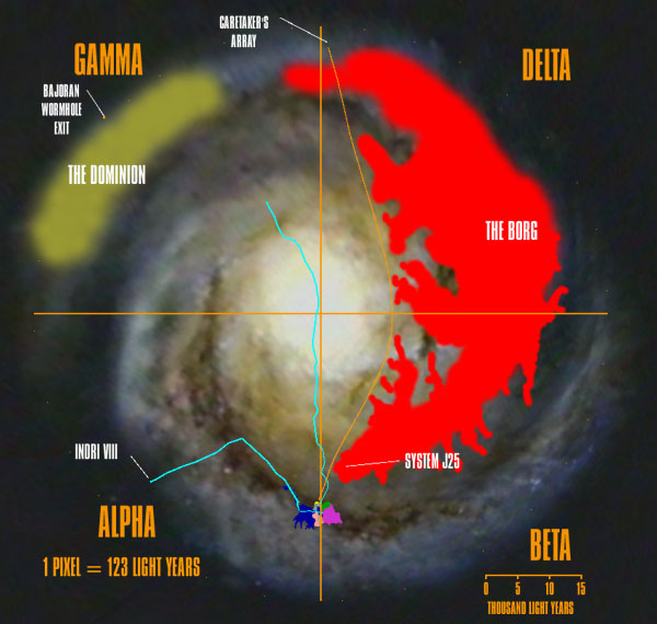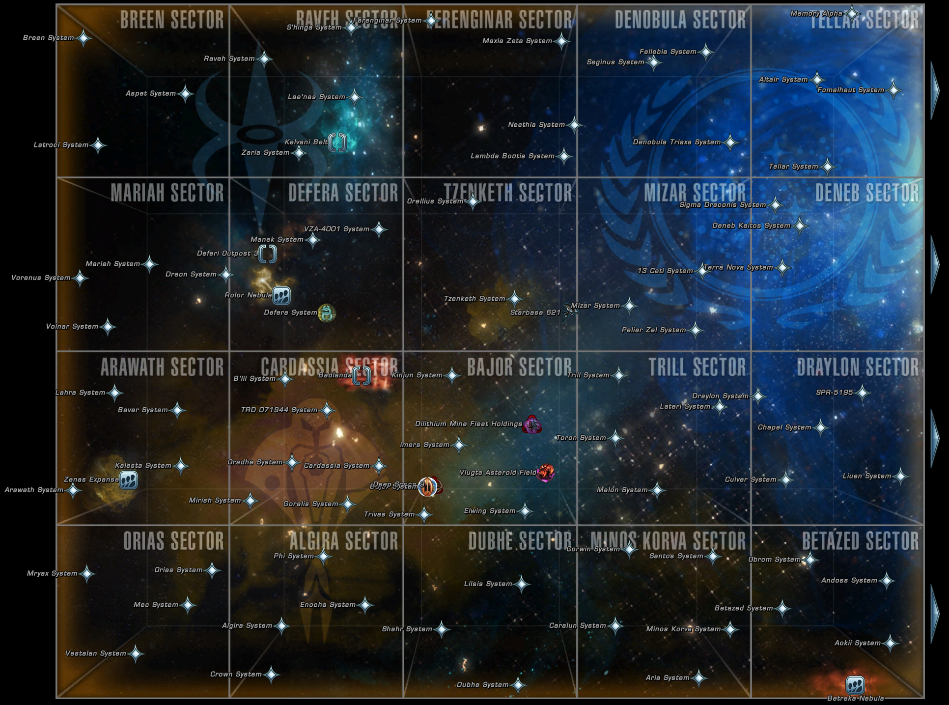
That's been consistent all along, although the earlier maps showed the territories on a much larger scale. The TNG tech people had a galaxy map showing Klingon and Romulan territories counterclockwise from the Federation (using the Star Charts orientation) even before the quadrant system was introduced. (Although the relative positions of the Klingons and Romulans are therefore inverted between the two.) Thus, in the STM maps, the Alpha Quadrant would be on the right and Beta on the left. There's no up or down in space, of course, so it's arbitrary. So one is looking at the disk from galactic north, the other from galactic south.

Also, STM's overview of the Milky Way shows the spiral arms spiraling outward clockwise while SC shows them spiraling outward counterclockwise.


I just compared the star positions, and the "top view" map in ST Maps appears to be mirrored relative to the view in Star Charts, as if they're looking at the galactic disk from opposite sides.


 0 kommentar(er)
